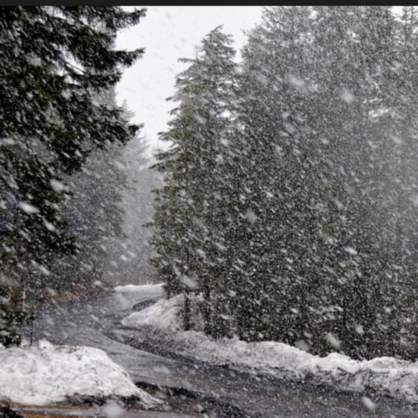
A dusting and up to a couple of tenths of snow is possible through 9 p.m. Saturday.
Saturday will be partly cloudy with a high in the mid-30s, but winds of 11 to 13 miles per hour making it feel like it's between 20 and 25 degrees.
The outlook for Sunday calls for partly sunny skies, with a high around the freezing mark and wind-chill values between 15 and 25 degrees.
There is a slight chance of snow and freezing rain Sunday night, followed by a chance of snow through Monday morning, before the cold spell that became on Wednesday ends as the temperature climbs into the low-40s under cloudy skies.
Tuesday will be even warmer, with a high reaching the upper-40s under partly sunny skies.
Check back to Daily Voice for updates.
Click here to follow Daily Voice Mamaroneck and receive free news updates.