The potential for precipitation comes from a disturbance in the Midwest that is moving east.
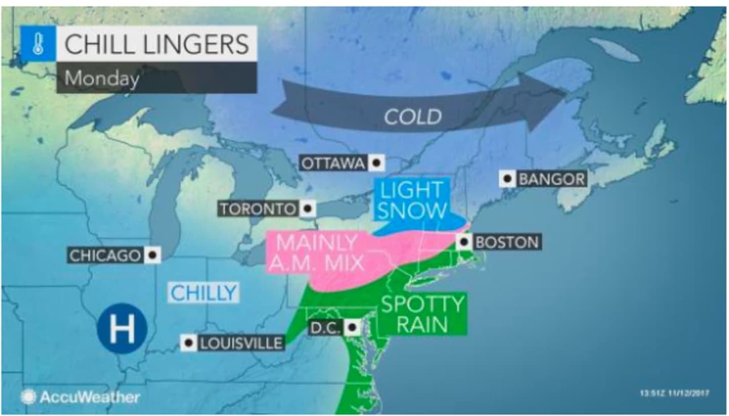
After a cloudy overnight with lows in the mid-20s, areas north of I-84 could see a "little wintry mix," around 7 a.m. Monday, according to AccuWeather.com. As the temperature rises and climbs above the freezing mark throughout the area by 9 a.m., any precipitation will be in the form of rain throughout the Hudson Valley.
Parts of the Adirondacks could see around an inch of snow Sunday into Monday morning.
Clouds will give way to partly sunny skies in the afternoon Monday, with a high in the mid-40s.
Tuesday will bring a mix of sun and clouds and a high again the mid-40s.
Wednesday's high will be at or around 50 degrees.
Check back to Daily Voice for updates.
Click here to follow Daily Voice Mamaroneck and receive free news updates.